
483 unique colours
Browse 483 unique Munsell colour identities in one place.
GeoColour is a convenient digital reference for browsing Munsell soil, geological rock, Gley and related reference colours on iPhone.
It brings hundreds of colour notations, descriptions and palette classifications together in a searchable format designed for quick access in the field, the office or the classroom.


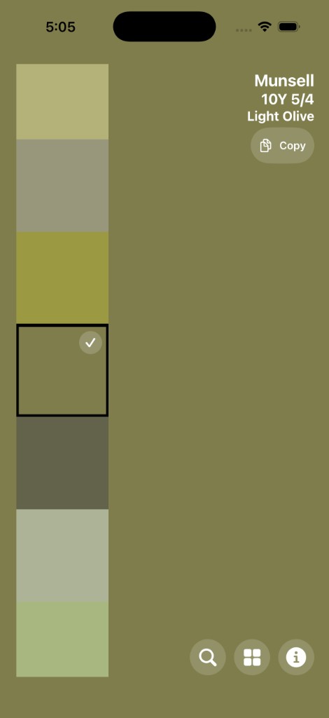
Physical Munsell colour charts remain important tools for geological, soil and environmental work, but they are not always convenient to carry or quick to search.
GeoColour makes the reference information easier to explore by placing hundreds of Munsell colours into a simple mobile interface. Colours can be browsed by palette or searched using their notation, HEX value or associated description.
Browse 483 unique Munsell colour identities in one place.
Soil, Gley and Geological Rock palettes, including 115 Geological Rock entries and an All Colours view.
Search by Munsell notation, HEX value and description.
Palette-specific soil and geological descriptions with clear RGB and HEX information.
A focused reference experience for browsing palettes, searching colours and reading the details you need in the field.
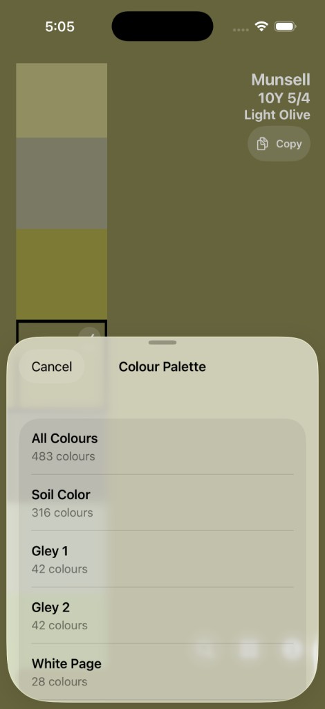
Move between soil, Gley and geological rock collections or open All Colours to browse the complete reference.
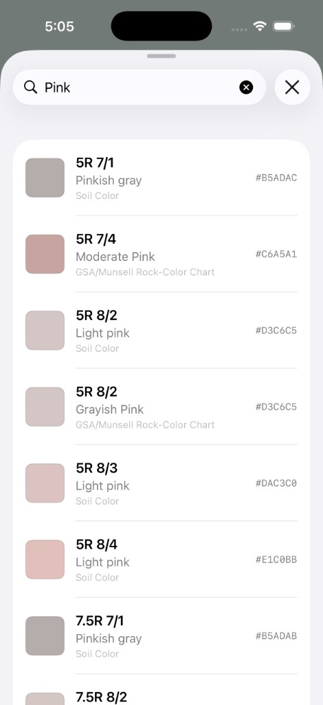
Find colours using their Munsell notation, HEX value or descriptive terminology.
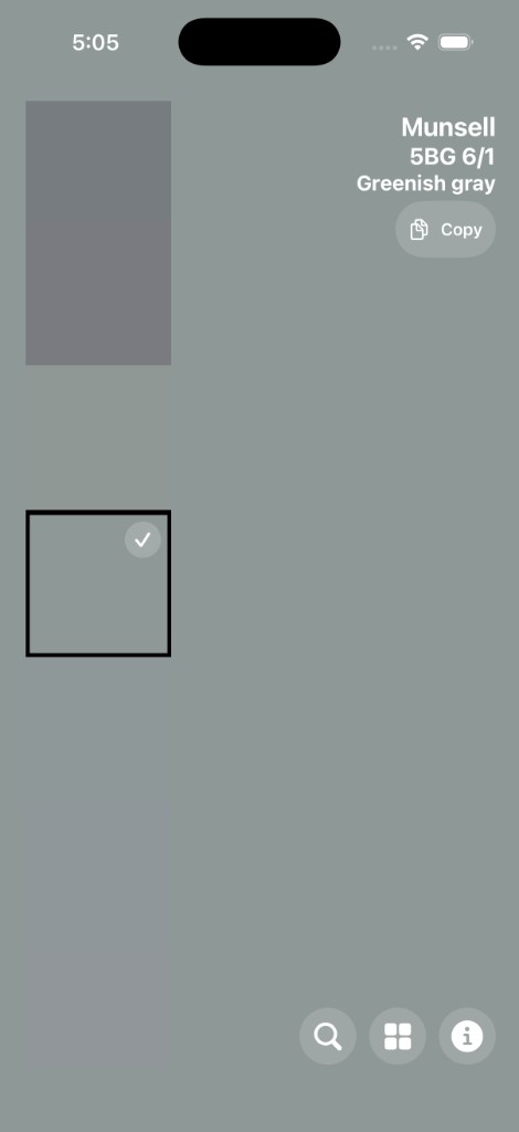
See the selected colour’s notation, digital colour values, palette membership and relevant descriptions in one place.
The idea for GeoColour began while I was working an ordinary IT job at a geological consulting company.
One day, a colleague returned from geological surveying work deep in the Papua New Guinea jungle. He was carrying everything he needed to remain in the field for a week. The survey area was so remote that he had been lowered in by helicopter, meaning every piece of equipment had to earn its place in his pack.
Among all that carefully selected gear, I noticed him put down a large Munsell colour chart.
I remember wondering why someone would carry such a bulky book into the jungle when that space and weight could surely be used for food, water or another essential piece of equipment.
Of course, the chart was essential. Geologists use Munsell colours to consistently identify and record the colours of soils, rocks and other materials in the field.
But the question stayed with me: could that reference be made easier to carry and quicker to use?
That moment became the starting point for GeoColour, a convenient digital field reference that places hundreds of Munsell soil and geological colours on a device already carried in almost every pocket.
GeoColour provides digital screen representations of physical Munsell reference colours. The appearance of a colour can vary between devices because of display calibration, brightness, viewing conditions and other screen characteristics.
GeoColour is designed as a convenient, searchable reference. Where precise scientific colour matching is required, a calibrated physical Munsell colour chart should still be used.
Find help, read how information is handled, or get the app.